National Oceanographic and Atmospheric Administration to Conduct Navigational Nautical Chart Updates at Paige Point Boat Landing Beginning Friday, May 8
Friday, May 8, 2026 11:29 AM
County Council, Public Works
$_EscapeTool.xml($location.value)
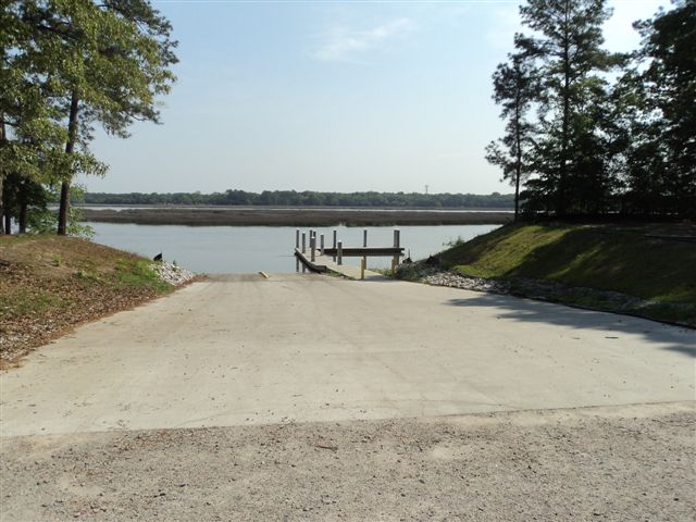
Beginning Friday, May 8, the National Oceanographic and Atmospheric Administration (NOAA) will be at Paige Point Boat Landing conducting research on safe navigation and updating nautical charts.
The National Oceanographic and Atmospheric Administration (NOAA) Office of Coast Survey will be at the boat landing for a one-week mission. They will be working to map the navigable water of Huspah Creek to ensure the nautical charts are completely up-to-date, which is a key piece of safety work for the local boating community.
From the NOAA website: On January 14, the Office of Coast Survey announced that future editions of nautical charts of the Intracoastal Waterway will be updated to include an improved “magenta line” that has historically aided navigation down the East Coast and around the Gulf Coast. Additionally, Coast Survey will change the magenta line’s function, from the perceived "recommended route" established more than a hundred years ago, to an advisory directional guide that helps prevent boaters from going astray in the maze of channels that comprise the route.
The boat landing will remain open for the duration of the research. Visitors and boaters should be cautious when loading and unloading boats around the equipment, vehicles, trailers and NOAA survey vessel.
A complete list of Beaufort County boat landings can be found here.
For more information, please contact Beaufort County Public Works at 843-255-2800.